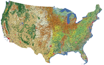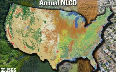
The USDA Forest Service Geospatial Office (GO) builds and maintains the National Tree Canopy Cover (TCC) dataset as part of the National Land Cover Database (NLCD). The TCC datasets are derived from Landsat and Sentinel-2 imagery along with USDA Forest Service - Forest Inventory and Analysis (FIA) data, based on a spatial resolution of 30 meters. Each TCC value is determined using photo interpretation methods and machine learning models, to produce the percentage of the area covered by tree canopy and interannual change between all years.
The Science TCC product includes 30-meter spatial resolution maps of TCC and standard error. It is a two-layer dataset, with modeled TCC values on every pixel, along with a standard error value + metadata. The Science TCC product provides objective numerical model outputs. Masks and thresholds are not applied to the Science version. TCC in water bodies or non-tree croplands (e.g., center-pivot irrigated fields) may be present.
This output is useful for anyone who prefers to introduce their own post-processing workflow and/or who needs a depiction of pixel-wise model error and model uncertainty.
For additional information regarding the creation of Science TCC products:
https://data.fs.usda.gov/geodata/rastergateway/treecanopycover/docs/TCC_v2023-5_Methods.pdf
To view and print the PDF you must obtain and install the Acrobat® Reader, available at no charge from Adobe Systems.