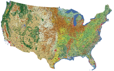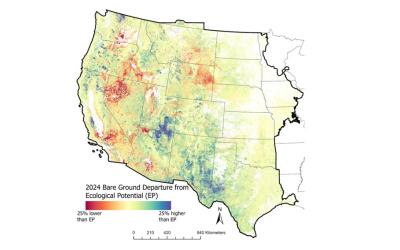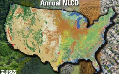
The Exotic Annual Grass (EAG) dataset provides early estimates of fractional cover of several EAG species and one native perennial grass species on a weekly basis during the core growing season of mid-April to late June. Typically, the EAG estimates are publicly released within 7-13 days of the latest satellite observation used for that version. Each weekly release contains five fractional cover maps along with their corresponding confidence maps for: 1) a group of 16 species of EAGs, 2) Cheatgrass (Bromus tectorum); 3) Combined cover of Field brome (Bromus arvensis) and Japanese brome (Bromus japonicus); 4) Medusahead (Taeniatherum caput-medusae); and 5) Sandberg bluegrass (Poa secunda). These datasets were generated leveraging field observations from Bureau of Land Management (BLM) Assessment, Inventory, and Monitoring (AIM) data plots; Harmonized Landsat and Sentinel-2 (HLS) based Normalized Difference Vegetation Index (NDVI); other relevant environmental, vegetation, remotely sensed, and geophysical drivers; and artificial intelligence/machine learning techniques. A total of 40,154 AIM plots from years 2016–2024 were used to train an ensemble of five-fold regression-tree models using a cross-validation approach (each observation was used as test data once and as training data four times) that developed all the fractional cover maps. The geographic coverage includes arid and semi-arid rangelands in the western U.S classified as shrubs or grassland/herbaceous by the 2023 Land Cover product from Annual National Land Cover Database (NLCD) CONUS Collection 1.0 at or below 2350-m elevation. A main objective of releasing these maps is to provide a tool for better monitoring EAG dynamics and informing conservation and management efforts at local to regional scales.
Preferred Citation:
Dahal, D., Boyte, S., Megard, L., Postma, K., and Pastick, N., 2025, Early Estimates of Exotic Annual Grass (EAG) in the Sagebrush Biome, USA, 2025 (ver. 10.0, June 2025): U.S. Geological Survey data release, https://doi.org/10.5066/P14VQEGO.
Related Citations:
Dahal, D., N. Pastick, S. Boyte, S. Parajuli, M. Oimoen, and L. Megard. 2022. Multi-Species Inference of Exotic Annual and Native Perennial Grasses in Rangelands of the Western United States Using Harmonized Landsat and Sentinel-2 Data. Remote Sensing 14: 807. https://doi.org/10.3390/rs14040807
Pastick, N., B. Wylie, M. Rigge, D. Dahal, S. Boyte, M. Jones, B. Allred, S. Parajuli, and Z. Wu. 2021. Rapid Monitoring of the Abundance and Spread of Exotic Annual Grasses in the Western United States Using Remote Sensing and Machine Learning. AGU advances. https://dx.doi.org/10.1029/2020AV000298.
Pastick, N., D. Dahal, B. Wylie, S. Parajuli, S. Boyte, and Z. Wu. 2020. Characterizing Land Surface Phenology and Exotic Annual Grasses in Dryland Ecosystems Using Landsat and Sentinel-2 Data in Harmony. Remote Sensing 12: 725. https://dx.doi.org/10.3390/rs12040725.
Pastick, N., B. Wylie, and Z. Wu. 2018. Spatiotemporal Analysis of Landsat-8 and Sentinel-2 Data to Support Monitoring of Dryland Ecosystems. Remote Sensing 10: 5. https://dx.doi.org/doi:10.3390/rs10050791.