We are currently experiencing intermittent issues with https://www.mrlc.gov/data. For guidance on alternative data outlets, please click here.
Data
Use the interface on the left to filter and download available NLCD products. Access the MRLC NLCD viewer or the MRLC Rangeland viewer for more dynamic data selection. Note: the current version of Annual NLCD offered here is Collection 1 Version 1 (1.1). This is the only version made available on www.mrlc.gov. For access to full archive of Annual NLCD, please visit the ScienceBase page.
33 Search Results
1998-2010
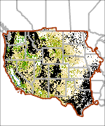
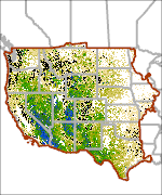
RCMAP Shrub Cover
1998-2010
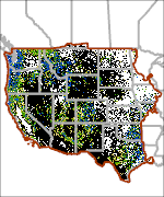
RCMAP Annual Herbaceous Cover
1998-2010
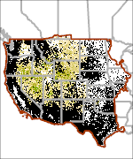
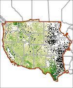
RCMAP Sagebrush Cover
1998-2010
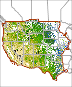
RCMAP Litter Cover
1998-2010
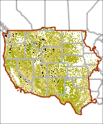
RCMAP Herbaceous Cover
1998-2010
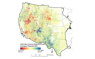
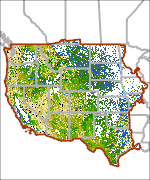
RCMAP Bare Ground Cover
1998-2010
RCMAP Tree Cover
1998-2010
RCMAP Shrub Height
1998-2010
RCMAP Perennial Herbaceous Cover

1998-2010
RCMAP Non-sagebrush Shrub Cover

2022
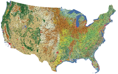
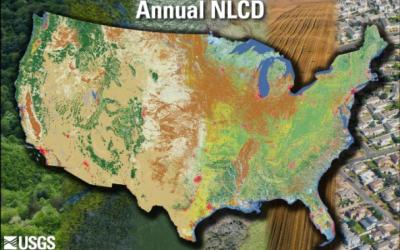
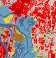
Land Cover (CONUS)
2000
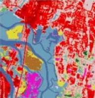
Land Cover (CONUS)

2022
Land Cover Change (CONUS)
2000
Land Cover Change (CONUS)
2022
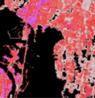
Land Cover Confidence (CONUS)

2000
Land Cover Confidence (CONUS)

2022
Fractional Impervious Surface (CONUS)
2000
Fractional Impervious Surface (CONUS)
2022
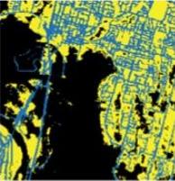
Impervious Descriptor (CONUS)

2000
Impervious Descriptor (CONUS)
2022
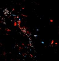
Spectral Change Day of Year (CONUS)

2000
Spectral Change Day of Year (CONUS)

2000
NLCD Tree Canopy Cover (CONUS)

2022
NLCD Tree Canopy Cover (CONUS)

2022
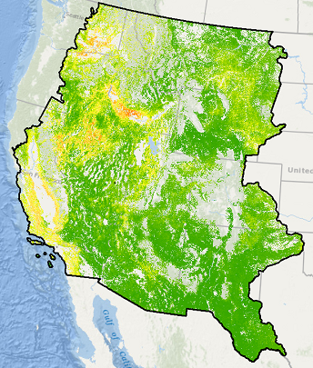
Exotic Annual Grass Percent Cover - July 01, 2022

2022
Exotic Annual Grass Percent Cover - June 15, 2022
2022
Exotic Annual Grass Percent Cover - June 03, 2022

2022
Exotic Annual Grass Percent Cover - May 18, 2022

2022
Exotic Annual Grass Percent Cover - May 06, 2022

2022
Science Tree Canopy Cover (CONUS)

2000
Science Tree Canopy Cover (CONUS)
2022
Science Tree Canopy Cover Standard Error (CONUS)

2000